fig9
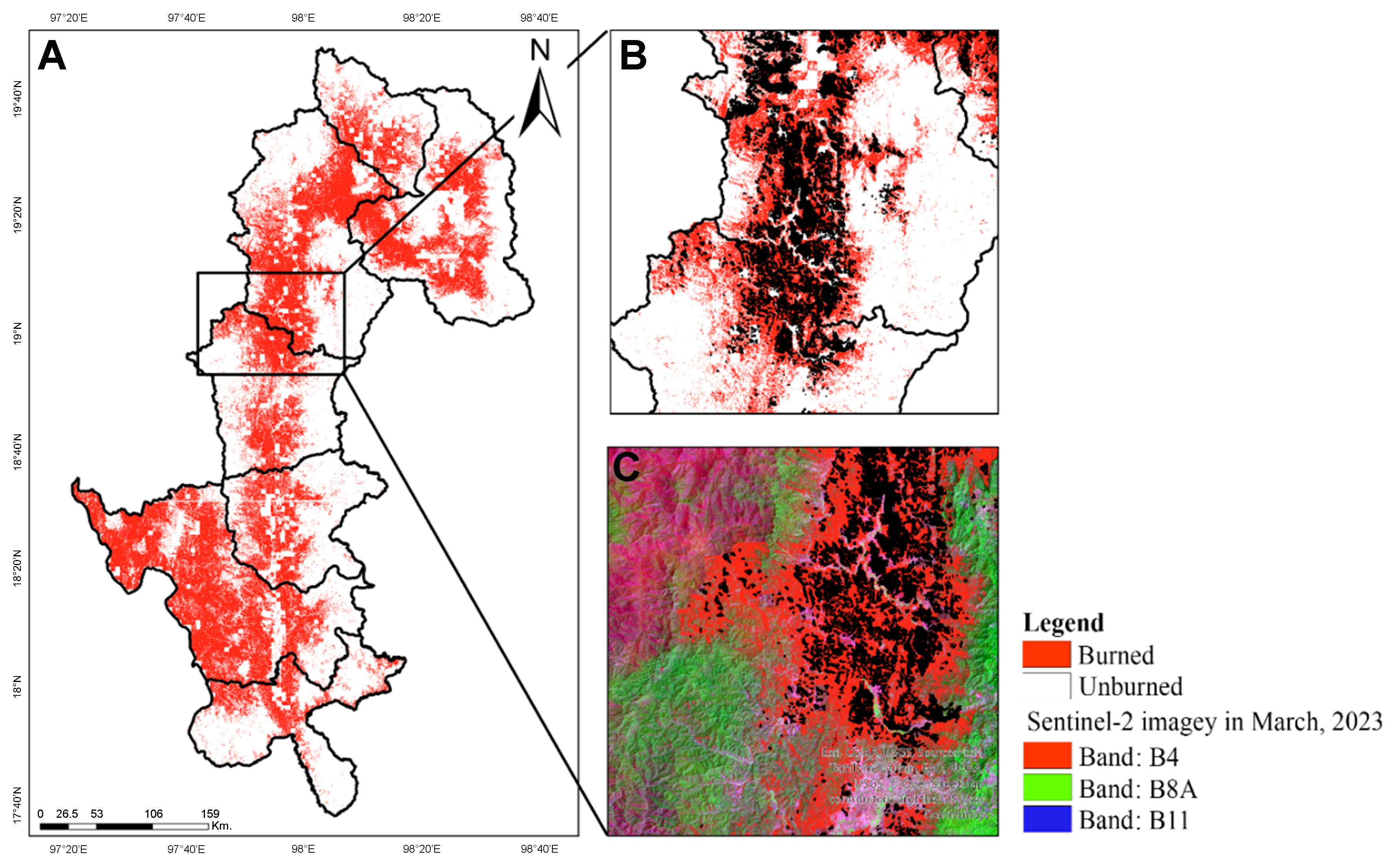
Figure 9. Map of the burned area as of March 2024 in Mae Hong Son: (A) Overall view; (B) Close-up of the area outlined by the black box in (A); and (C) Detailed view of the same area, including reference data and Sentinel-2 imagery.
Figure 9. Map of the burned area as of March 2024 in Mae Hong Son: (A) Overall view; (B) Close-up of the area outlined by the black box in (A); and (C) Detailed view of the same area, including reference data and Sentinel-2 imagery.


All published articles are preserved here permanently:
https://www.portico.org/publishers/oae/