

fig1
From: From assessment to optimization: GCN for lane-changing trajectory planning in highway diversion area
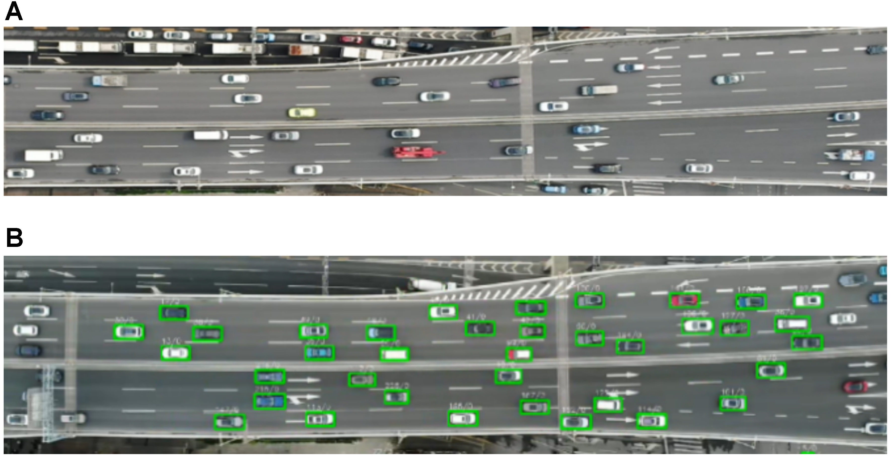
Figure 1. Diversion area of Shanghai Middle Ring expressway. (A) High-precision orthophoto maps; (B) Vehicle detection and trajectory data based on YOLOv5. Photographed by the authors. YOLOv5: You Only Look Once version 5.